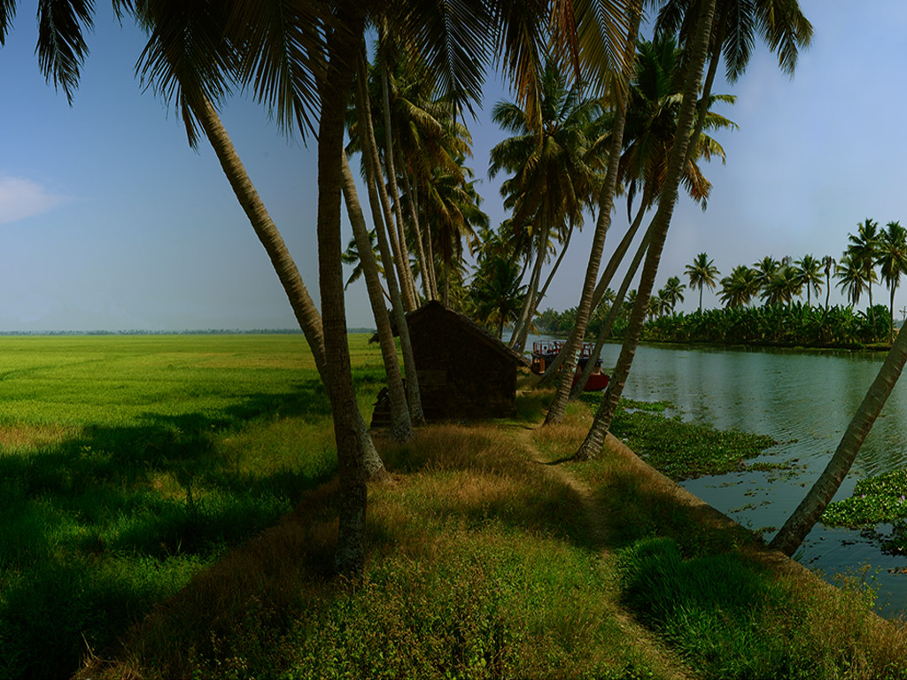

Kumarakom is part of Kuttanad, the rice bowl of Kerala, which lies a few feet below sea-level. It is a cluster of islands about 14 km from Kottayam. A two-hour journey from the Cochin International Airport or a half hour boat ride from Muhamma of Alappuzha district will take you to this fascinating land.
The village sprawls over an area of 51.67 sq km, which is inclusive of 24.13 sq km of the lake. The lush paddy fields below sea level are spread over an area of 15.75 sq km. The remaining portion of 1253 hectares is dry land. This is the inhabited area – patches of land criss-crossed by canals and streams – of about 1179 hectares.
Records from the early 19th century reveal that the area was only sparsely populated. The census of 1891 shows that a population of only 8332 existed in the village and that the number of houses built at the time was about 1700. The latest survey conducted in 2001 shows that the population has increased to about 23,000 and the number of households is about 5,120. The sex ratio, like that of the State, is in favour of women. As of 2001, the ratio was 1026 females for 1000 males.
Some Historic Details  |