Topography
The Chinnar Wildlife Sanctuary, spread over an area of 90.44 sq km, is located between 10º15' - 10º21' N and Longitude 77º5' - 77º16' E. The sanctuary, situated in the Idukki district of Kerala, is part of the Western Ghats, the mountain range along the western side of India which has been declared as a biodiversity hotspot. Two rivers – Chinnar and Pambar – flow through the sanctuary. The area was declared a sanctuary in 1984 by the Government of Kerala.
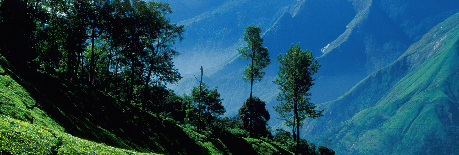
The sanctuary has an undulating terrain with altitudes ranging from 400m at Chinnar to 2372m at Nandalamala. The major peaks are Varayattumalai (1845m), Thengamalai (1422m), Vellakkalmalai (1883m), Jambumalai (1395m), Aralipara (1494m), Karumalai, Anakkunnu and Jellimalai.
ClimateFor most part of the year the sanctuary experiences hot and dry season owing to its location in the rain shadow region. Unlike other forests in the State, the area receives only 40-odd rain days. Rains occur during the North-East Monsoon (October-December). The sanctuary receives about 300-500 mm rainfall annually. Climate is cool in high altitudes while it’s sultry in the plains.


 Rivers